Mapping Analysis and Field Checking

This page provides further detail on mapping analysis and field checking for the mapping and calculation of DCIA.

Mapping Analysis

Even when you know what you’re looking for, getting a good handle on drainage can be more of an art than a science. The best way is to combine field checking with map analysis. See below for tips on both.

To elaborate on a famous saying: you can never be too rich, too thin, or have too much data – especially when you’re trying to analyze the interaction of your town/watershed’s landscape with its drainage systems. That said, much of the data that you need is publicly available on the CT ECO website, Connecticut’s one-stop shopping for statewide natural resource data. Here’s a brief list of some of the data layers/maps that you might want to hunt up. Most of these are used in our video demonstration of mapping drainage:

Statewide Data Layers (CT ECO)

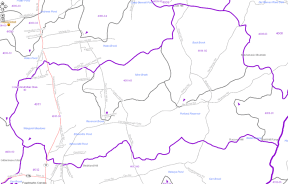
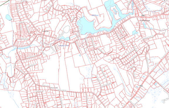
Watershed Boundaries

Obviously, you will need the boundary of the watershed that is the subject of your retrofit effort. It may also be useful for you to have the boundaries of the smaller basins that make up your watershed; it’s quite possible that your watershed plan might have different strategies for different basins.
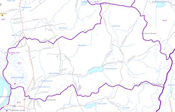
CT ECO maps
Portland area, from CT ECO

Hydrography

These are the waterways – streams, rivers, ponds and lakes. This layer is an integral part of the watershed system and relates to your drainage mapping.
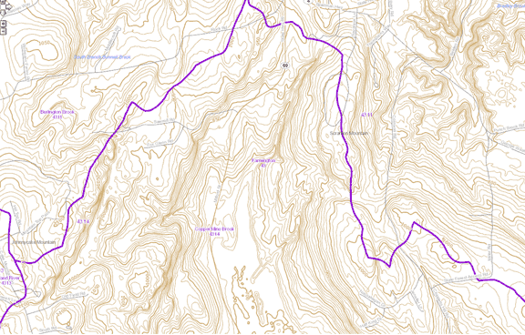
CT ECO maps
Portland area, from CT ECO

Topography

Topo will allow you to analyze the lay of the land (literally) in relation to your watershed, waterways and drainage system. Caution: if you have densely urban areas with lots of drainage systems, you will have to go into the field to check on whether your water drains according to the topography.

CT ECO maps
Farmington area, from CT ECO

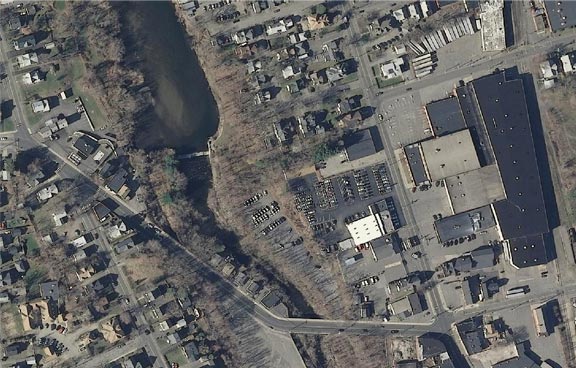
High resolution imagery

The high resolution 2012 imagery on CT ECO is useful for all sorts of things. In this case, it can provide a great base map for you as you collect information about your impervious cover and discuss priorities for retrofits. Watch our video on accessing the imagery from CT ECO. And, if you don’t have any digital data on buildings, roads, etc... (see below), it will enable you or a contractor to digitize your IC directly from the aerials.
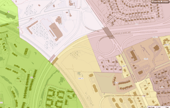
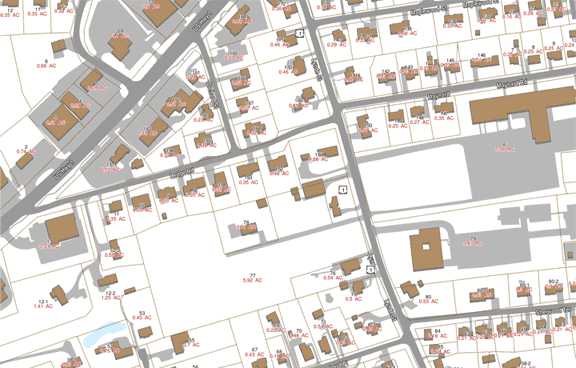
CT ECO maps
Torrington area, from CT ECO

Local Data Layers

Parcels

Parcels, or property lines, are important to tie your landscape and drainage analysis to the realities of property ownership. Your tax assessor has this information, but the key question is whether it’s digital or not.  About 2/3 of the towns in the state have some form of parcel data available on CT ECO, as part of the open space data layer.
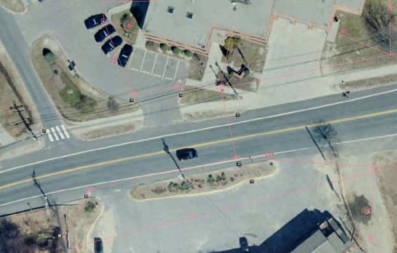
CT ECO maps
Essex area, from CT ECO

Drainage Systems

A map of manmade drainage systems – i.e., your stormwater drains, pipes and outlets – is a wonderful resource for your determination of connected versus disconnected impervious cover.

CT ECO maps
UConn campus, from CLEAR Eagleville Brook interactive map

Planimetric Data

A fancy term for a detailed dataset that includes not only parcels but also building footprints, driveway and road outlines, parking lots and often even smaller features like sidewalks. This data contains pretty much all the IC coverage data that you need.

CT ECO maps
Old Saybrook area, from MapGeo Old Saybrook GIS site

Zoning

Zoning is not a critical data layer but it can help you to determine why some areas have so much IC, or are in store for a big infusion of IC in the future if current regulations are not changed. Lot coverage, driveway length, building size and many other things regulated by zoning, subdivision, and road regulations are the main way that your town controls IC. See our Post-Construction Measure page for resources (and a handy-dandy publication) on how to make these regs more GI/LID friendly.

CT ECO maps
Groton area, from GrotonGIS site.


Field Checking

Field checking: tips for what to look for when you're out there wandering the watershed.

Your field assessments should collect the information you need to evaluate your retrofit options. This information includes drainage pattern, impervious cover, available space for retrofits, and other site constraints involving utilities, land ownership, etc. The Center for Watershed Protection (CWP), a national nonprofit that was a partner in the Eagleville Brook project, has devised a Retrofit Reconnaissance Investigation form that can be used to ensure that all the relevant information is collected. This can be downloaded for free (once you’ve registered) from the CWP website.

      1. Go to www.cwp.org
      2. Select Online Watershed Library
      3. Select Tools
      4. Select USRM
      5. Select Retrofit Reconnaissance Investigation form
      6. and while you are at the CWP site, be sure to look around there's lots of good stuff!

In some areas, rural roadways for example, a "windshield survey" from the car will be enough to confirm the status of IC. In more urban areas... prepare for sticking your head down a lot of storm drains! As you walk the watershed, note the drains and confirm, when possible, where they take the water - by looking. Where there are no drains, note which way the land slopes and where the stormwater goes - this can best be confirmed by going out on a rainy day.

Burrowing into the Storm Drain System Video

The Fine Art of "Windshield Surveys" Video